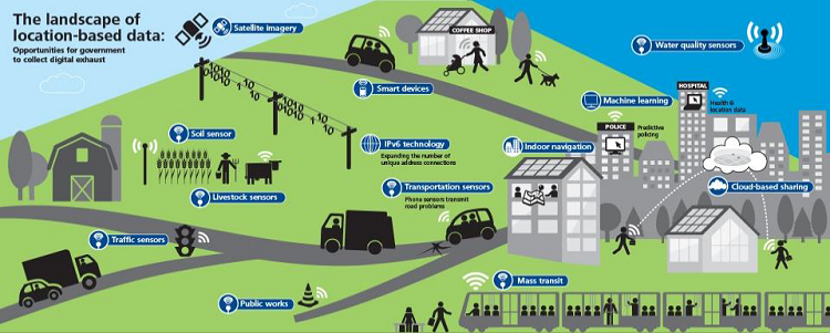
On October 1st, Ironside hosted a webinar on Putting Data on the Map with Location Intelligence. You will get all the key facts on location intelligence and hear a Q&A panel of Ironside developers, Ironside data scientists, and location intelligence specialists from our partner Pitney Bowes. Read more


